Innovation to benefit the oceans
The research conducted at ISMER-UQAR not only helps answer complex scientific questions, but it also leads to the development of tools to better target the use of marine ecosystems and better prepare for environmental impacts that could affect this use.
Innovation to benefit the oceans
From mapping seabeds and habitats to protecting shorelines and developing and exploiting new molecules, the contributions of ISMER-UQAR researchers are numerous.
Modeling
The ultimate integrative tool for much of the work carried out at ISMER-UQAR is numerical modeling, which mathematically represents various processes (physical, biological, biogeochemical) and digitally integrates them in space and time for particular regions of interest for varying periods of time in the past or future.
Model complexity is typically adapted to the research question. Among the models operated by the ISMER-UQAR research team are three-dimensional circulation models applied to the Gulf of St. Lawrence, Hudson Bay, and Baffin Bay. Because various processes are regularly studied, the models are constantly improved and tested with data collected in the field or from operational databases. By integrating many different processes, the models help to better understand the interactions between various components in diverse idealized situations that cannot be obtained in nature. The models ultimately serve to make predictions in the short, medium, or long term, and efforts will be deployed to make them operational by working in concert with national and international partners involved in these research endeavors.
Combined studies of remote sensing and modeling will help identify the oceanographic and biological mechanisms controlling the spatio-temporal patterns and abundances of phytoplankton, zooplankton, and nektonic biomasses in the pelagic ecosystem as well as their influence on carbon fluxes between the atmosphere and the sea. Numerical analyses of satellite ocean colour measurements provide large-scale spatial and high-frequency temporal information on suspended and dissolved matter in the water along with information on phytoplankton biomass and production. The resulting information on algal communities will increase in precision with the development of hyperspectral sensors. The remote sensing tools developed at ISMER-UQAR will help with the study of changes undergone by algal populations at the base of trophic networks over recent decades under the influence of anthropogenic impacts and climate changes.
Seabed Mapping
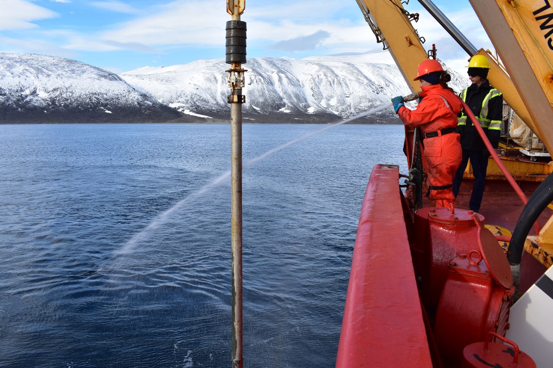
Certain planets and their satellites, such as the moon or Mars, are today better mapped than the seafloor of Earth. Research work carried out at ISMER in marine geology aims to conduct detailed studies of seabeds and coastal zones as well as their sediments using cutting-edge techniques that are employed both in the laboratory and during oceanographic campaigns in the Saguenay Fjord, the St. Lawrence Estuary and Gulf as well as along the Canadian east coast, in the Arctic, and in the southern hemisphere.
The objective is to map, analyze, and understand the processes that shape marine sediments and coastal zones. ISMER-UQAR researchers hope to go back several thousand—even hundreds of thousands—of years to provide valuable information about natural disasters, coastal erosion, sediment transport, climate changes, and the geological history of Canada beyond historical records. Research activities are conducted along several axes: (1) paleoclimate reconstruction from sediment cores; (2) quaternary marine sediment stratigraphy; (3) natural hazards; and (4) sediment transport, sediment provenance, and coastal erosion.
Ecosystem Goods and Services
The concept of “ecosystem goods and services” is an economic approach to the environment that attempts to calculate and attribute value to various biological processes that produce benefits for humans from the immediate environment and the global ecosystem. Such an approach is controversial, and scientists can contribute positively to the sometimes-heated debate that emerges.
It is necessary to respond not only to the question of how to protect and conserve an ecosystem, but also to explain how the system functions and to identify the benefits of balanced management and to state why the ecosystem must be preserved and at what cost. Scientific data on water and sediment quality, on the toxic effects of anthropogenic substances, on the effects of human activities in general (e.g., trawling, ballast water discharge, noise), and on environmental risks directly affect this fundamental societal debate.
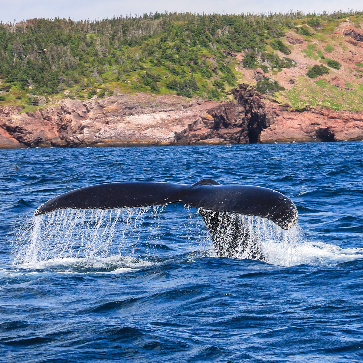
One of the current challenges in marine ecosystem management is to determine which zones to protect. It is first important to identify areas of high biodiversity and to locate sensitive habitats and sites with rare or threatened species. Creating continuous maps of potential habitat is one strategy. These maps illustrate the presence of species communities based on the optimal physical and biological conditions for these communities. Once the initial prediction model is established, it becomes easier to update spatial distribution data according to available environmental variables (e.g., chlorophyll, sediments, currents, topography). It is also possible to include sources of stress (simple or cumulative) in the model, whether these are anthropogenic (fishing pressure, aquaculture, pollution) or natural (sea level modifications, water temperature). Thus, a second step of combining environmental variables along with the human activities present in a study area creates a continuous map predicting the spatial distribution of benthic organisms and biodiversity. Moreover, this type of model accounts for the dynamic state of specific communities responding to environmental changes. This approach helps anticipate the consequences of potential global changes on species distribution, which helps decision-makers make the best choices for sound marine environment management. ISMER-UQAR researchers model benthic habitats in the three oceans bordering Canada as well as in areas abroad (e.g., Polynesia, Guinea, Papua New Guinea).
Erosion and Shoreline Protection
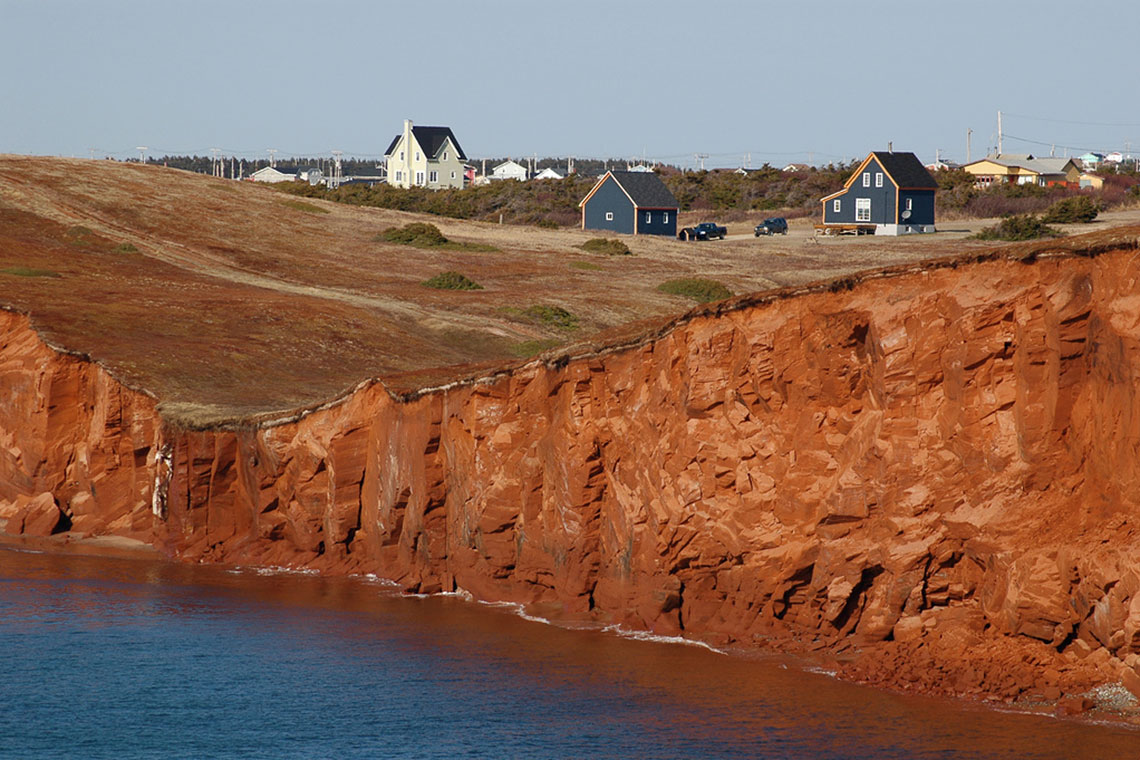
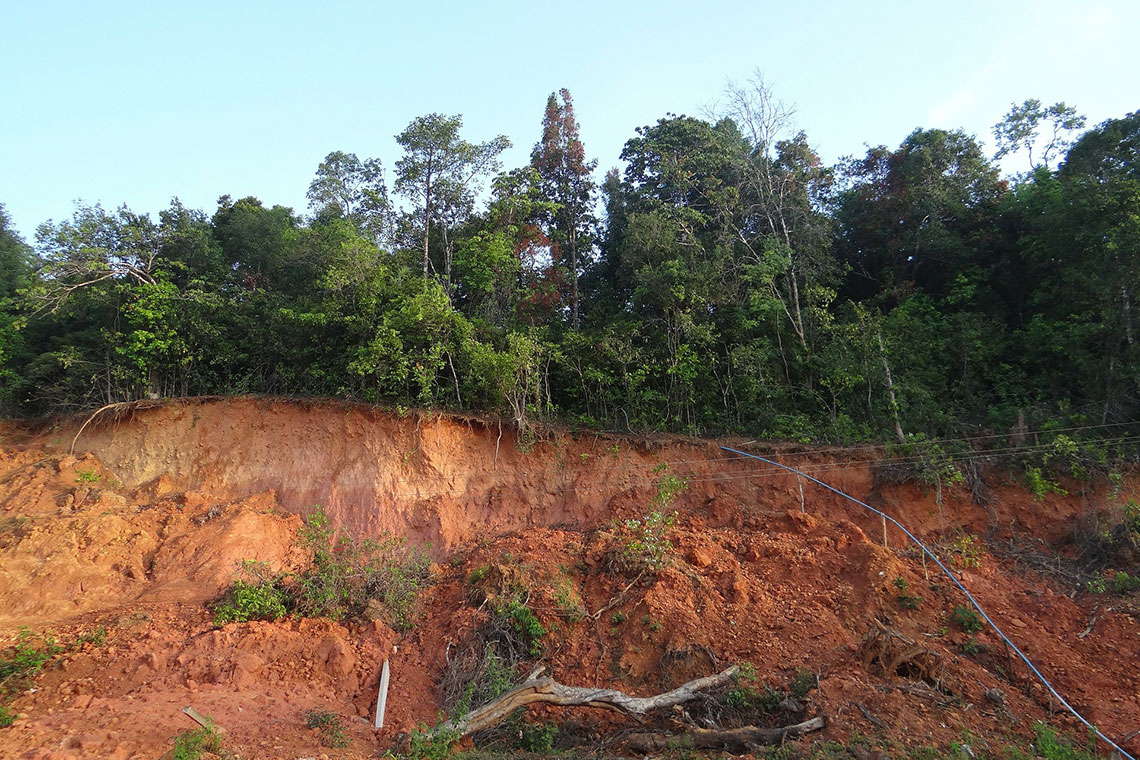
The frequency of natural disasters has increased in recent decades, and this increase seems to be related to global warming. Quebec and eastern Canada have not been spared, and several sensitive geographical zones have already been affected. In particular, sea-level rise and decreased ice cover accelerate erosion in many coastal areas of the St. Lawrence Estuary and Gulf. Scientific observations related to global changes have led ISMER-UQAR and its researchers to pay special attention to the resulting natural risks, which are analyzed from all angles in extreme or evolving conditions based on current or previous events.
The work aims to analyze the impacts of natural risks on biological diversity (increases or decreases in the number of species, migration towards polar zones, increases in interspecific competition). Other work focuses on studying harmful algal blooms and the spread of invasive aquatic species—both of which are expanding globally—in Canadian coastal waters.
The mobility of sediments in the coastal zone represents various risks for coastal populations, maritime traffic, and marine resource operators. In Quebec, there are particularly serious coastal erosion problems and looding risks due to water level fluctuations. ISMER-UQAR researchers, in collaboration with several partners including the Quebec Ministries of Transport and Public Safety, study the processes responsible for coastal erosion by linking it to hydrodynamic conditions (waves and currents) and local sedimentary and geomorphological characteristics. The objectives are to predict erosion rates and their evolution considering future climate changes, particularly variations in wave climate, relative sea level, and winter ice cover. The objectives also include evaluating the adequacy of coastal engineering interventions against shoreline erosion. In addition, researchers are exploring the role of submarine canyons in transferring sediments from littoral drift along the coast to deeper deposits in the Laurentian Channel.
Coastal marshes, which are particularly rich ecosystems, are studied to determine their past and future evolution as well as to understand hydrodynamic and sedimentary processes and their relationships with different plant communities. The goal is to determine the sedimentary conditions that lead to the preservation of these wetlands that are currently threatened by erosion, especially in a context of global sea-level rise. The work focuses on seasonal variations of processes, particularly the influence of vegetation, that reduce currents and trap sediments, and on the erodibility of cohesive sediments, which is strongly influenced by biofilms covering their surface. Marshes are important buffer zones that dissipate energy striking the coast, which is why wave energy attenuation by vegetation and other morphological elements is measured and wave propagation in the coastal zone is modeled. Particular attention is paid to winter processes by (1) quantifying the capacity of floating ice to transport sediments and modify morphology; and (2) determining the influence of ice cover on sedimentary dynamics with in situ measurements of sediment transport under sea ice in the intertidal and shallow subtidal zones.
Natural Hazards
Recent catastrophic earthquakes, such as those in Haiti and Chile in 2010 and in New Zealand and Japan in 2011, remind us of how dynamic our planet is. In Canada, various seismic zones are recognized, including one in the eastern part of the country: the Charlevoix/Bas-Saint-Laurent Seismic Zone (ZSCBSL). Several earthquakes with a magnitude greater than 6 on the Richter scale have occurred there over the past 350 years, including the one on 5 February 1663, which shook the entire northeastern North America and caused enormous landslides, both terrestrial (St-Jean Vianney, Shawinigan, Betsiamites, Mont Éboulé) and submarine (Saguenay Fjord, St. Lawrence Estuary).
Today, such an earthquake would cause considerable damage, both in terms of infrastructure stability (e.g., viaducts, roads, bridges) and population safety. A good understanding of earthquakes in this region and their impacts is essential for determining the risk and establishing the recovery period of such events. The marine environment preserves traces of catastrophic events such as earthquakes, landslides, floods, and even tsunamis. These traces are notably visible in the nature and composition of sediments as well as in their stratigraphy and architecture.
ISMER-UQAR researchers will attempt to identify, characterize, date, and determine the mechanisms responsible for submarine landslides in the Saguenay Fjord and the St. Lawrence Estuary and Gulf to understand the frequency and magnitude of these events in particularly exposed regions such as those located in the ZSCBSL. Similarly, ISMER researchers will also focus on submarine landslides and major floods identified in Hudson Bay, the Canadian Arctic, and Argentina.
Organic Matter and Harmful Algae
The increasingly abundant use of artificial fertilizers for large-scale agriculture, industrial and urban discharges, and increased use of coastal zones for recreational, tourism, and aquaculture purposes are the main factors responsible for the eutrophication of coastal regions. Eutrophication results in an increased frequency of harmful or toxic algal blooms, such as the one that occurred in the St. Lawrence Estuary in the summer of 2008 and was caused by the dinoflagellate Alexandrium tamarense. Such events have significant effects on the marine food chain (mortality of fishes, birds, and marine mammals) that can impact human health. It is therefore important to understand the causes of such events and the ecology of the species involved as well as the mechanisms of development, maintenance of dormancy cyst beds, and reseeding of surface water masses in the following season.
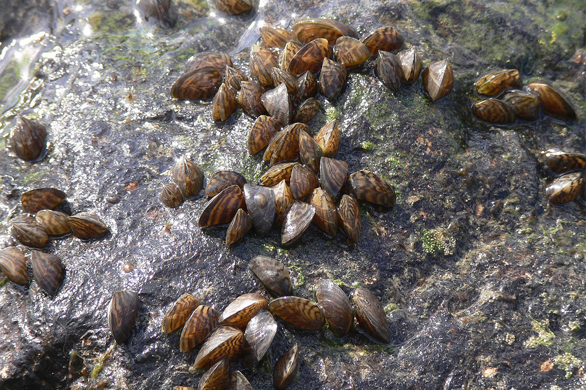
Anthropogenic impacts are based on more than chemical compounds; the increase in the number and size of ships serving global commerce results in the increased transport of numerous aquatic organisms in ballast reservoirs (water and bottom sediment) or on ship hulls. These “invasive aquatic species” can sometimes cause considerable damage to recipient environments (the case of the zebra mussel in the Great Lakes is a famous example), either by displacing local populations (affecting their predators) or by causing other harmful effects (e.g., clogging water intakes in the case of the zebra mussel).
ISMER-UQAR researchers are interested in the transport of harmful algae and invertebrates via ship ballast water and sediment in the Arctic zone and in eastern Canadian waters, particularly for dinoflagellates, many species of which are toxic. Their research is part of the Canadian research network CAISN II and the SPERA and POLAR programs. Initial results show the presence of harmful algae in more than 80% of ships visiting eastern Canadian ports. This work will contribute to establishing control measures for ballast water discharged in Canadian coastal zones and measures to mitigate their effects.
Marine Biomass Valorization
The “valorization” component of marine biomass is an integral part of the vast marine science domain being developed at ISMER-UQAR and constitutes one of the strong points of new governmental strategies aimed at promoting economic growth in fishing regions by diversifying the base of fishery resources while respecting the environment. This diversification involves not only aquaculture, but also the search for new, still underexploited species and the valorization of factory residues for already exploited species. Methods are being developed at ISMER-UQAR that increase the capacity to separate and characterize natural marine molecules, which allows for their valorization in nutraceutical or pharmaceutical applications.
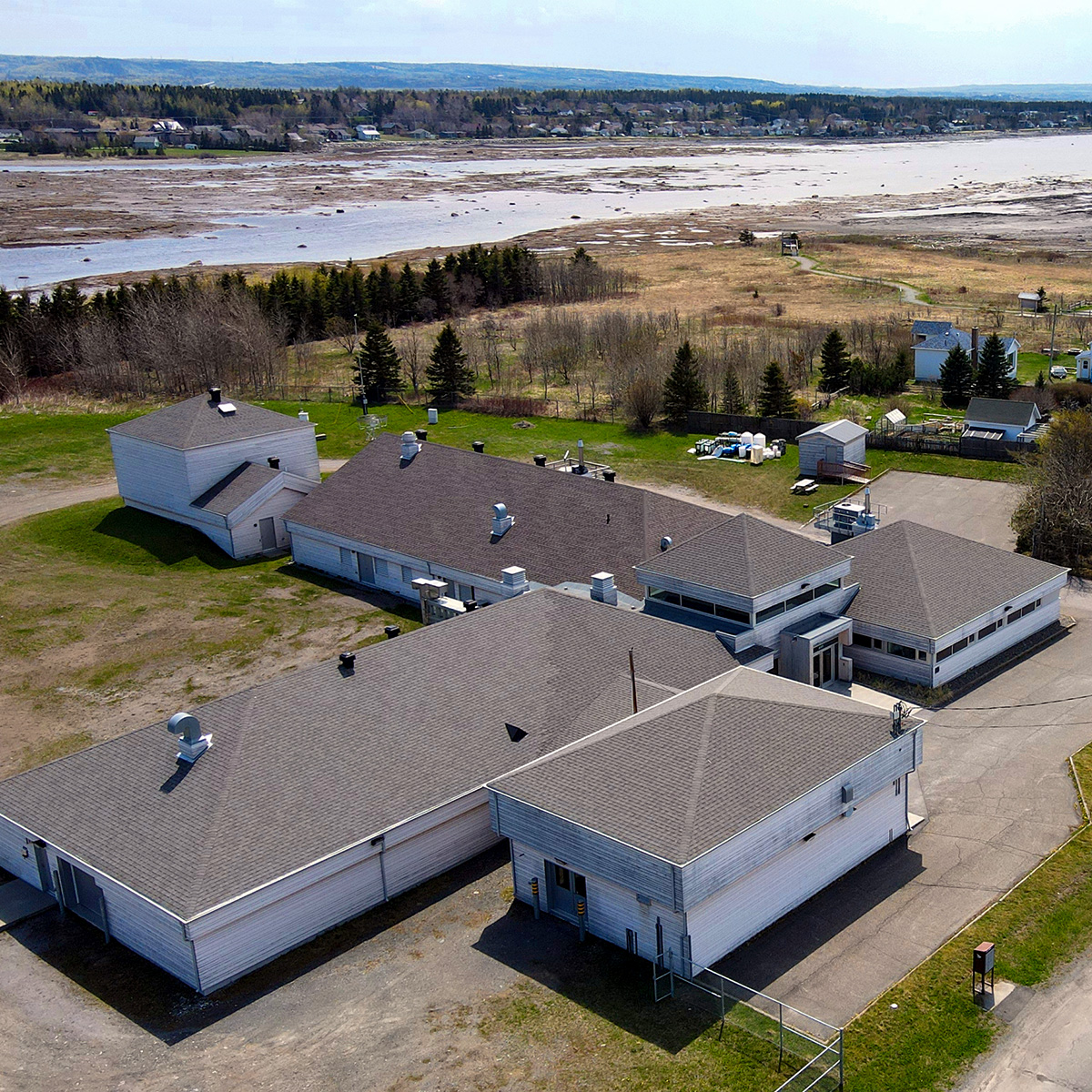
This component involves applied research focused on discovering new nutritional, nutraceutical, and pharmaceutical properties for biological tissues or fractions that would otherwise have no commercial value. The work consists of searching for molecules or families of compounds that show very specific biological activities, such as cytotoxicity towards cancer cell lines or, conversely, a pro-biotic activity promoting the regeneration of skin cells or intestinal flora. The Pointe-au-Père aquaculture station, with its capacities for massive microalgal production, fish and invertebrate breeding, and its new laboratory for radiotracer use, will be the main tool for developing this component.